
Reading a summer sky
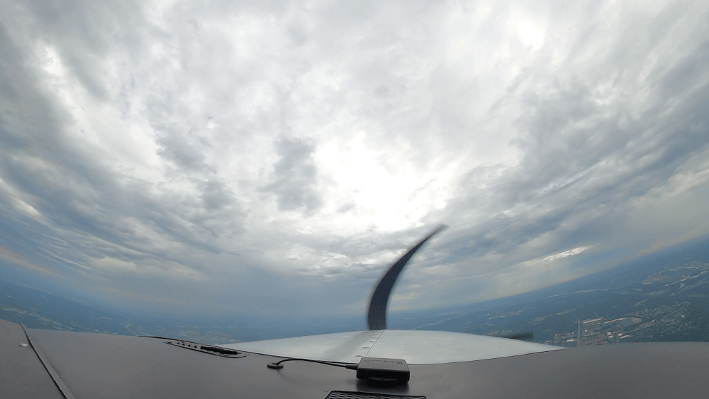
A 90°F July afternoon in the Upper Midwest follows a familiar script: clear morning, cumulus by lunch, storms by dinner. With the family’s departure from Waukesha set for late afternoon, the question was never whether there’d be weather. It was whether there’d be a safe way through it.
Flying the legs on an IFR flight plan kept ATC in the loop and gave me approaches at both ends if the visibility dropped. I spent the ground time in Waukesha doing what most pilots do on a day like that: watching the sky and re-checking the forecast.
Radar vs. the window
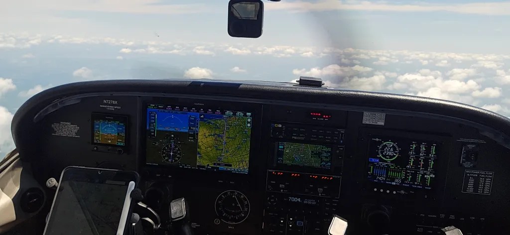
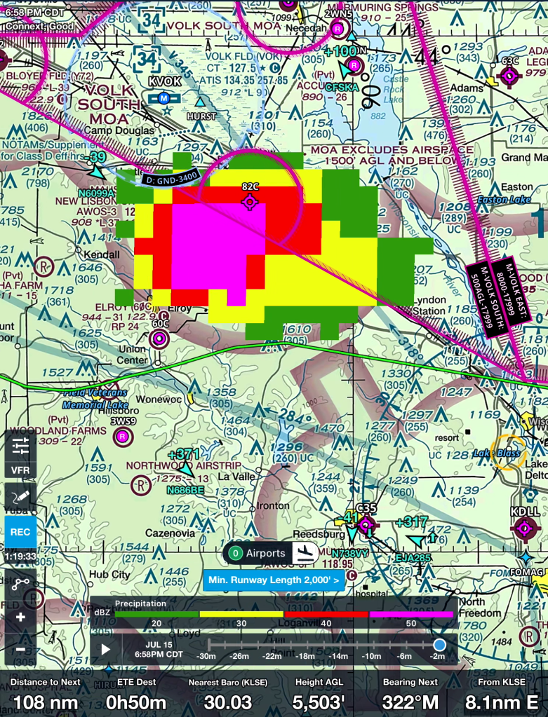
On the leg to Osceola, the iPad radar and the view outside didn’t agree. That’s normal. Datalink weather can be several minutes old by the time it reaches the cockpit, and storms move. The screen shows where a cell was; the window shows where it is.
So I used all three tools: radar for the big picture, my eyes for the next ten miles, and ATC to coordinate in between. Two small deviations, 10° left and later a nudge right, kept us clear of the buildups without a long detour.

Smoke changes the math
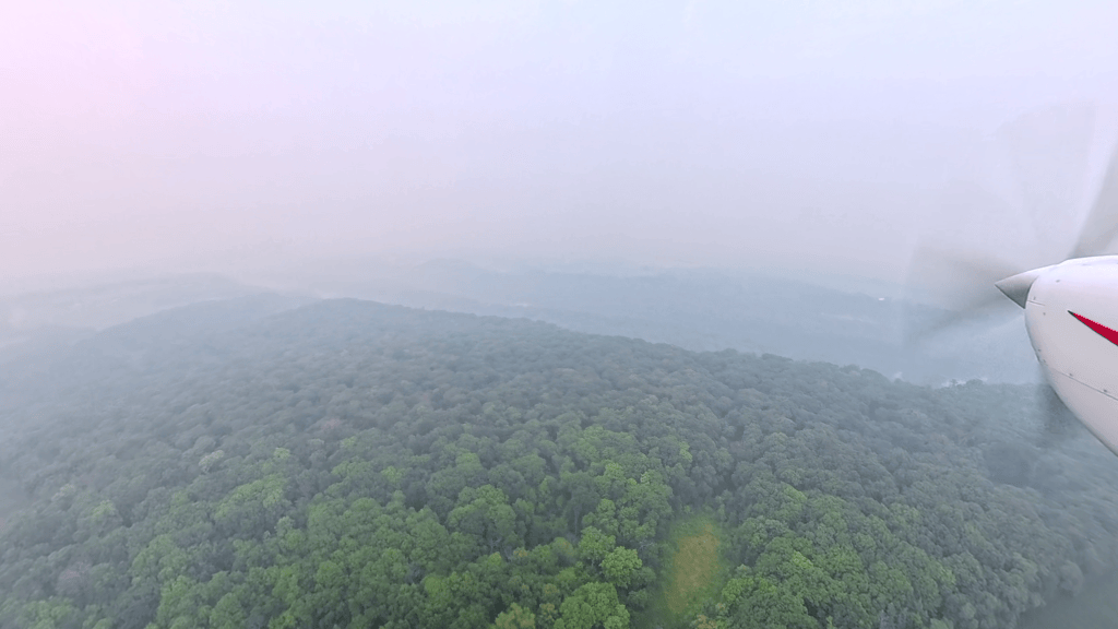
You can see a thunderstorm and steer around it. Wildfire smoke is different. It lowers visibility over a wide area with no clean edge to fly around. The planning question became simple: if Osceola goes to instruments, is there an approach and a plan B? The RNAV 10 was the answer, and it’s the approach we flew.
What a mission actually involves
Uphaven matches volunteer pilots with families who need to travel. For the pilot, most of a mission is positioning. Two of my three legs, the run out from Flying Cloud and the trip home, had nobody else on board. Add a few hours on the ramp waiting, and the family’s leg is the shortest part of your day.
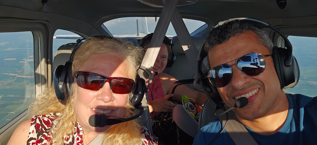
The other part is people. You meet Kinsley, her mom and her grandmother on the ramp, load their bags, install a car seat for the first time, and earn their trust in about fifteen minutes.
Watch it, then visit Uphaven
The full video shows the deviations and the approach into the smoke with the real ATC audio.
If you’re a pilot, visit Uphaven‘s site to see how volunteering works; you may not need your own airplane. If you’re not, it’s worth a look to see how they connect families with flights.
One question for you
Pilots: when datalink radar and the view out the window disagree, which do you trust first, and why? Tell me in the comments.


Leave a Reply